-
01
Find your site
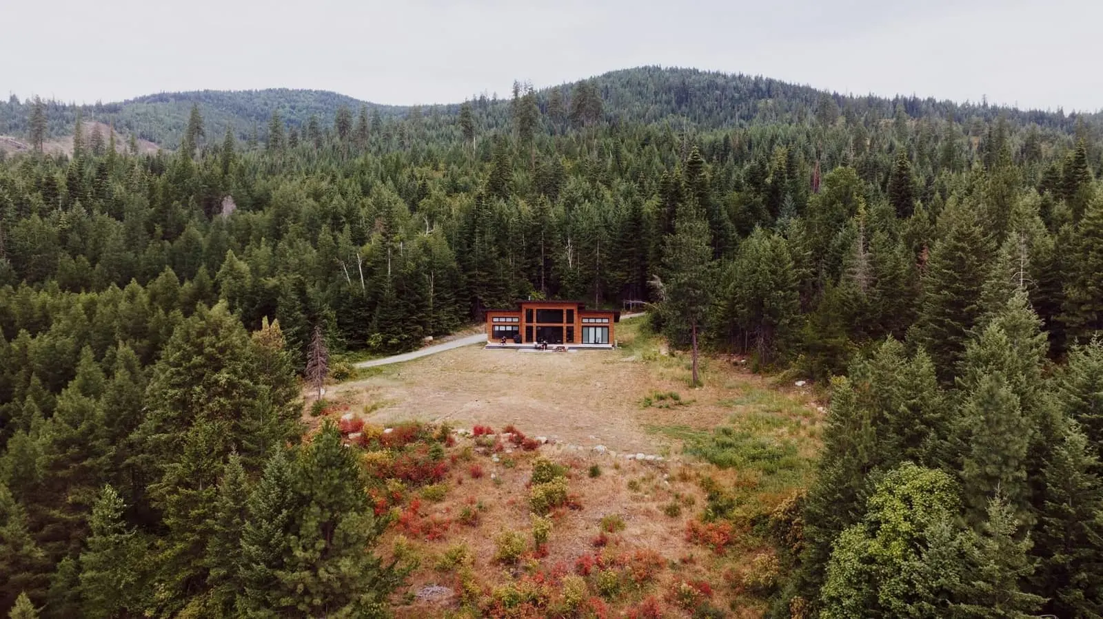
Enter an address, upload a photo of your land, or pick a sample scene.
-
02
Choose a model
Its footprint is drawn to scale from the model’s real dimensions.
-
03
Position it
Drag to move and use the rotate control to line it up with your site.
Enter an address, choose a photo or pick a sample scene to begin.
For illustration only. Footprints are approximate; siting, setbacks and approvals are confirmed during site assessment.